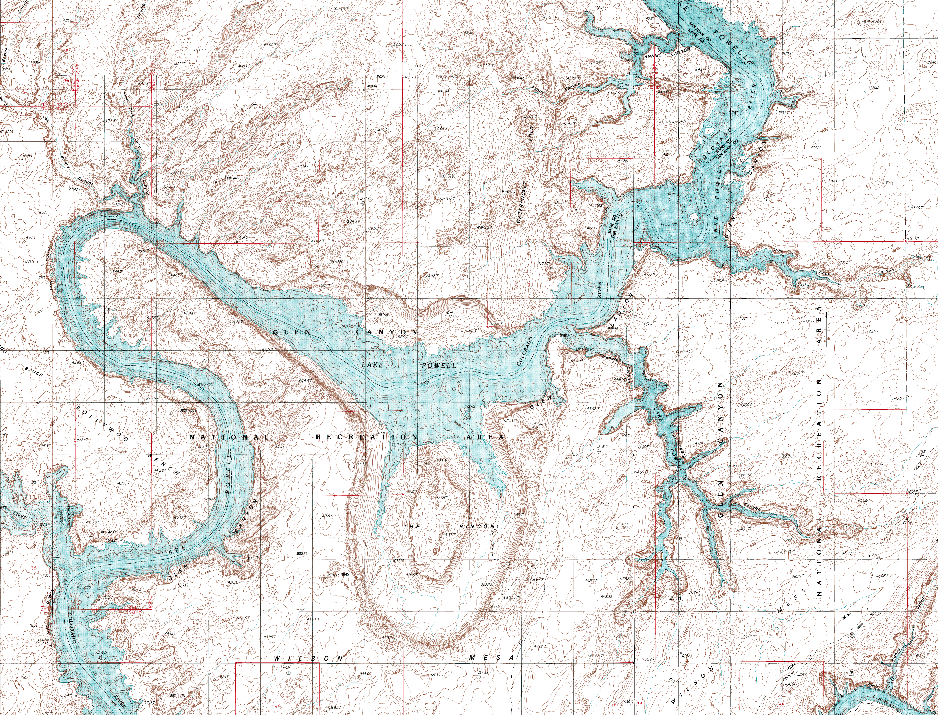
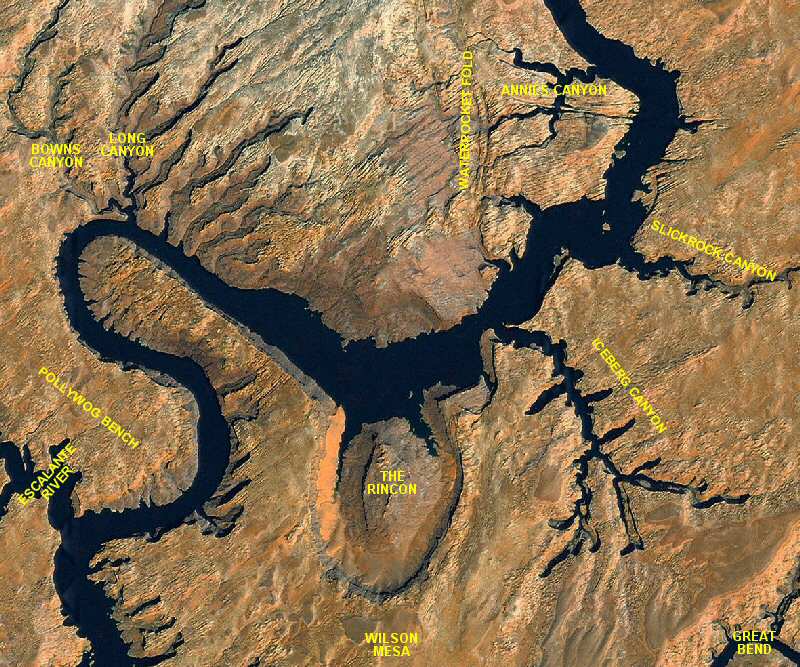
 This area of Lake Powell offers many opportunities for discovery and good Lake Powell fun. There are some unique campsites and hikes in this area of the lake. The Rincon is the major geologic formation in the area and offers both camping and hiking. The scenic Escalante River Arm enters into the lake at Mile 68.
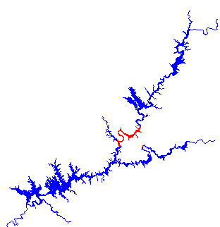
Adjoining Maps:
Reflection Canyon
Escalante River
Bullfrog
Click on the topo map below to enlarge (Note: These are large files).

Topographical Maps (PDF files, opens in a new window):
Davis Gulch
The Rincon
Alcove Canyon
Halls Crossing
The Rincon NE
Stevens Canyon South
Escalante River Arm:
A very popular and scenic arm of Lake Powell.
Bowns and Long Canyon:
Bowns and Long Canyon, at Mile 74, share a common mouth. There is no camping either of these canyons. There is a hike available up Long Canyon.
The Rincon:
The Rincon is 77 miles up lake from Glen Canyon Dam. It is an abandoned meander of the Colorado River. It is believed it formed several thousand years ago when the river cut through the loop and shortened the river course by six miles. One can hike all the way around the large butte in the center of the Rincon. There are many good campsites in this area.
Iceberg Canyon:
Iceberg Canyon is 78 miles up lake from Glen Canyon Dam. There are a few campsites up the various side canyons in Iceberg. There are also several examples of rockslides that occur in this area as well as several ruins.
Slickrock Canyon:
Slick Rock Canyon is at Mile 81. It has some good campsites and contains some ruins and petroglyphs.
Annies Canyon:
Annies Canyon , at Mile 83, has an arch by its' downstream entrance. This canyon is excellent to explore but has no campsites.