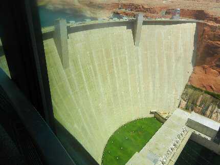
 Antelope Canyon is four miles above Glen Canyon Dam in the Colorado River channel. It is a narrow two mile canyon of Navajo Sandstone. Hiking in Antelope Canyon is popular but access is often difficult from the water due to debris at the end of the canyon. Flash floods can occur in the in the narrow canyons of Lake Powell and visitors should not hike in these slot canyons if there is rainfall in the area.
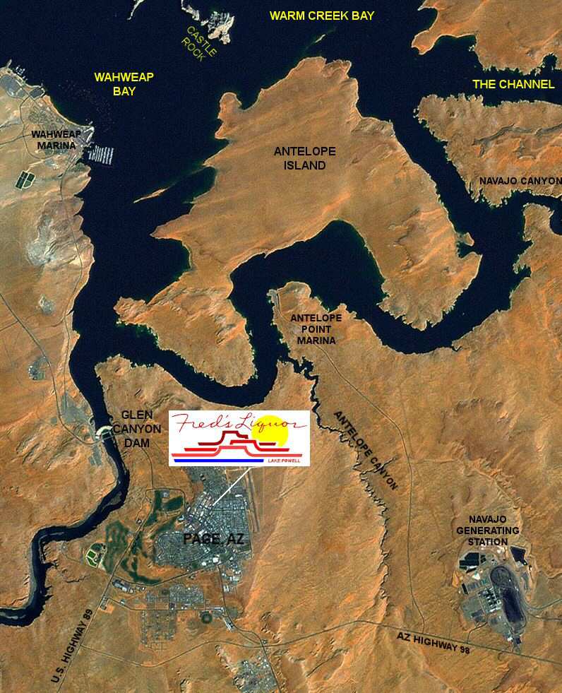
Most visitors explore Antelope Canyon Navajo Tribal Park by driving on Arizona 98 a few miles southeast of Page, Arizona. Several tour companies offer guided tours of Antelope Canyon.
Adjoining Maps:
Click on the topo map below to enlarge (Note: These are large files).

Topographical Maps (PDF files, opens in a new window):