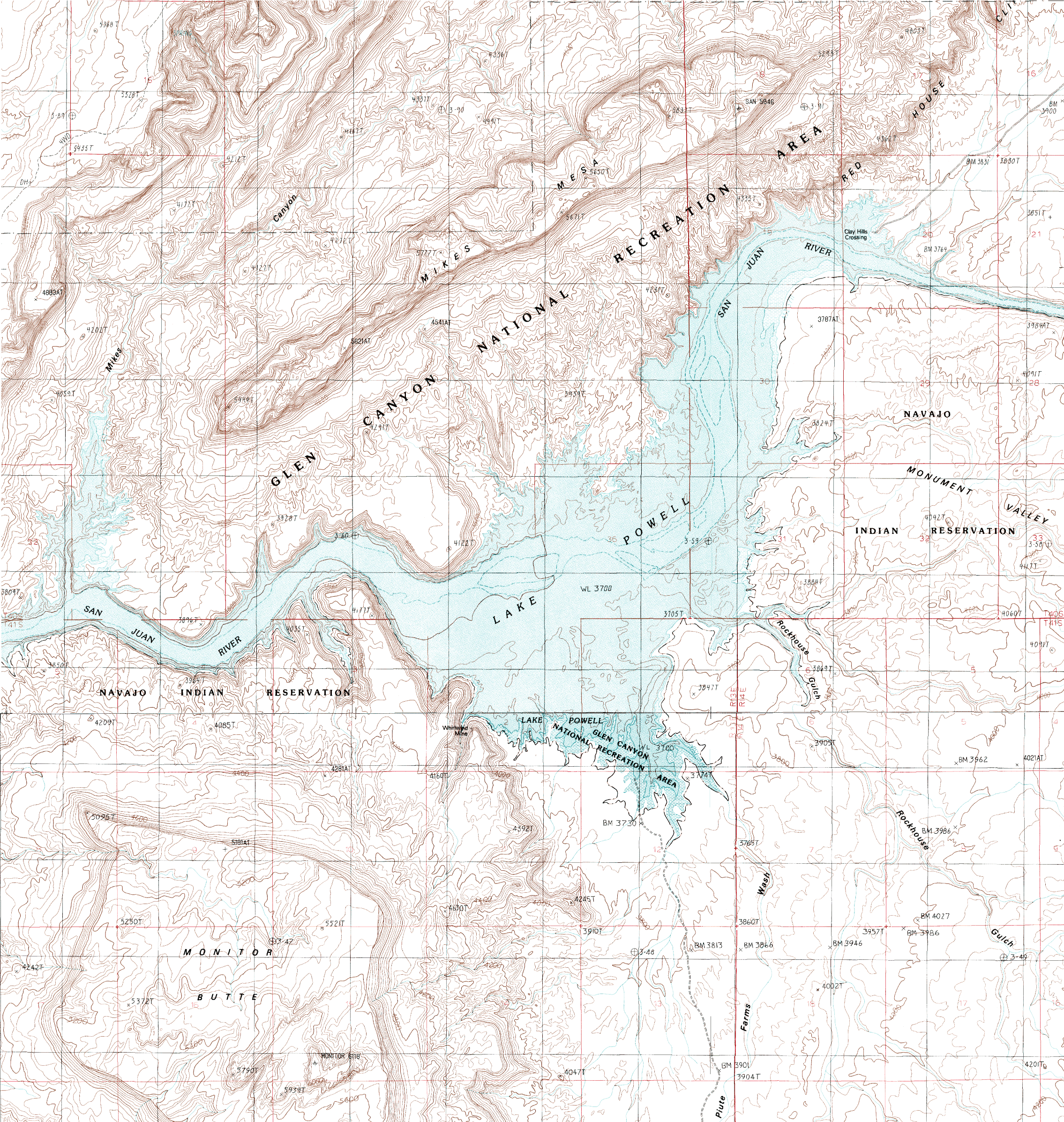
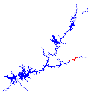
 This section is the end of the San Juan Arm of Lake Powell and is lightly visited. Depending on lake levels, much of this may be inaccessible. Caution is urged when approaching this portion of the lake, especially at lower water levels due to silt build up. And remember to check you gas supply before going up the San Juan Arm since there are no marinas on the San Juan Arm.
Adjoining Map:
Middle San Juan
Click on the topo map below to enlarge (Note: These are large files).
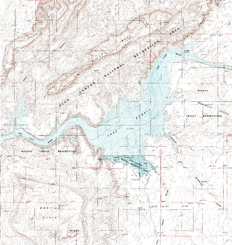
Topographical Maps (PDF files, opens in a new window):
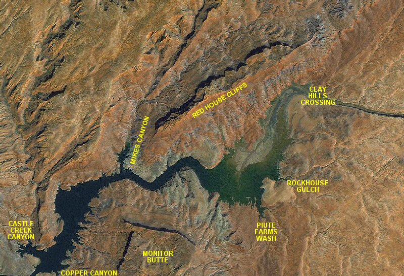
Monitor Butte
Mikes Mesa
Castle Creek Canyon:
Castle Creek Canyon is 44 miles from the confluence of the San Juan and Colorado Rivers. There are several good campsites available. This canyon was used by Indian tribes to reach the San Juan River.
Copper Canyon:
Copper Canyon has very few campsites. It served as an access for miners down to the San Juan River. As its' name suggests, there had been copper found here. There is an old mining building up this canyon.
Mikes Canyon:
Mikes Canyon is 48 miles up the San Juan River Arm. There are good campsites to be found in Mikes Canyon.
Monitor Butte:
Monitor Butte rises to an elevation of 6117 feet above sea level on the south of this part of Lake Powell. It is named after the famous Civil War ship, the U.S.S. Monitor.
Piute Farms Wash:
Piute Farms Wash is 52 miles up the San Juan. Some campsites are accessible, depending on lake level.
Clay Hills Crossing:
Clay Hills Crossing is at the end of navigation up the San Juan Arm and is only reachable when the lake is close to full. This is where rafters on the lower San Juan River end their trips. It is accessible by road. See the Driving the Lake page for more details.